Politisch
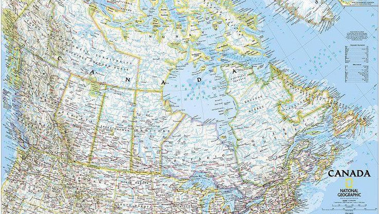
Ein politisches Kartenbild zeigt die zum Veröffentlichungsdatum einer Karte oder eines Globus aktuelle, politische Gliederung der Erde. Dabei werden in der Regel alle Staaten und deren Grenzen mittels einer differenzierenden Farbgebung dargestellt und Hauptstädte sowie die Staaten selbst eindeutig benannt.
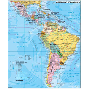
Stiefel
Kontinentkarte Mittel- und Südamerika politisch (97 x 119 cm)
$ 24,90
versandfertig in 24
h
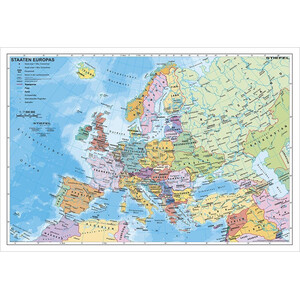
Stiefel
Kontinentkarte Europa politisch (95 x 66 cm)
$ 21,90
versandfertig in 24
h
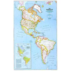
National Geographic
Kontinentkarte Nord und Süd Amerika, politisch
$ 28,90
versandfertig in 24
h
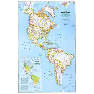
National Geographic
Kontinentkarte Kontinent-Karte Nord und Süd Amerika, politisch (laminiert)
$ 45,90
versandfertig in 24
h

Abraham Wood Decor
Kontinentkarte Europa Puzzle aus Holz (110x108cm)
$ 102,-
versandfertig in 24
h
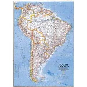
National Geographic
Kontinentkarte Südamerika, politisch
$ 28,90
versandfertig in 24
h
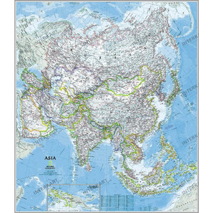
National Geographic
Kontinentkarte Asien politisch (84 x 96 cm)
$ 52,-
versandfertig in 24
h
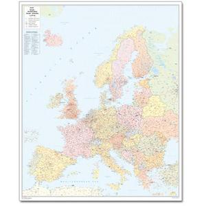
Bacher Verlag
Kontinentkarte Postleitzahlenkarte Europa groß
$ 113,-
versandfertig in 24
h
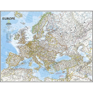
National Geographic
Kontinentkarte Europa politisch 76 x 61 cm
$ 45,90
versandfertig in 1-2
Wochen
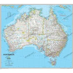
National Geographic
Kontinentkarte Australien politisch (76 x 69 cm)
$ 45,90
versandfertig in 24
h
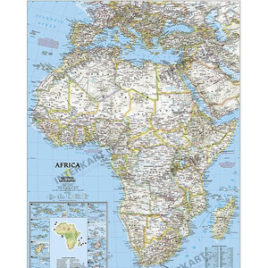
National Geographic
Kontinentkarte Afrika
$ 45,90
versandfertig in 24
h
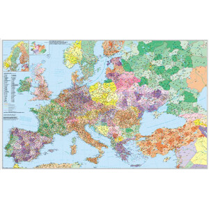
Stiefel
Kontinentkarte Europa mit Türkei Straßen- und Postleitzahlenkarte (mehrsprachig)
$ 24,90
versandfertig in 24
h
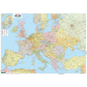
freytag & berndt
Kontinentkarte Europa (172 x 123 cm)
$ 30,90
versandfertig in 24
h
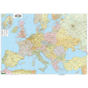
freytag & berndt
Kontinentkarte Europa (127 x 90 cm)
$ 31,90
versandfertig in 24
h
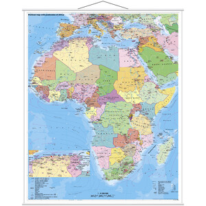
Stiefel
Kontinentkarte Afrika politisch mit PLZ
$ 28,90
versandfertig in 1-2
Wochen
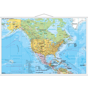
Stiefel
Kontinentkarte Nord- und Mittelamerika politisch (137x89)
$ 28,90
versandfertig in 1-2
Wochen

National Geographic
Kontinentkarte Australien politisch (76 x 69 cm)
$ 28,90
versandfertig in 1-2
Wochen

Stiefel
Kontinentkarte Nord- und Mittelamerika politisch (137x89)
$ 24,90
versandfertig in 1-2
Wochen
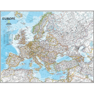
National Geographic
Kontinentkarte Europa politisch (117 x 91 cm)
$ 39,90
versandfertig in 1-2
Wochen
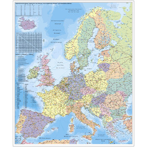
Stiefel
Kontinentkarte Europa Organisationskarte (97 x 119 cm)
$ 267,-
versandfertig in 1-2
Wochen

National Geographic
Kontinentkarte Asien politisch (84 x 96 cm)
$ 30,90
versandfertig in 24
h
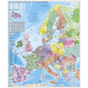
Stiefel
Kontinentkarte Europa PLZ (97 x 119 cm)
$ 267,-
versandfertig in 1-2
Wochen

Stiefel
Kontinentkarte Europa PLZ (97 x 119 cm)
$ 205,-
versandfertig in 1-2
Wochen
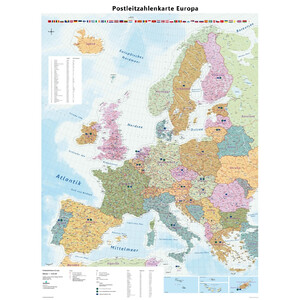
GeoMetro
Kontinentkarte Europa Postleitzahlen (90 x 123 cm)
$ 31,90
versandfertig in 24
h

National Geographic
Kontinentkarte Europa politisch 76 x 61 cm
$ 28,90
versandfertig in 1-2
Wochen

GeoMetro
Kontinentkarte Europa Postleitzahlen (90 x 123 cm)
$ 28,90
versandfertig in 24
h

Stiefel
Kontinentkarte Europa PLZ (97 x 119 cm)
$ 28,90
versandfertig in 24
h

Stiefel
Kontinentkarte Mittel- und Südamerika politisch (97 x 119 cm)
$ 28,90
versandfertig in 1-2
Wochen

Stiefel
Kontinentkarte Afrika politisch mit PLZ
$ 24,90
versandfertig in 24
h

Stiefel
Kontinentkarte Europa PLZ (97 x 119 cm)
$ 24,90
versandfertig in 24
h

Stiefel
Kontinentkarte Europa Organisationskarte (97 x 119 cm)
$ 24,90
versandfertig in 1-2
Wochen
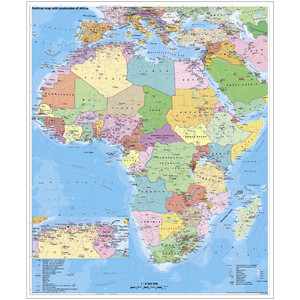
Stiefel
Kontinentkarte Afrika politisch mit PLZ auf Platte zum Pinnen und magnethaftend
$ 267,-
versandfertig in 1-2
Wochen

National Geographic
Kontinentkarte Europa politisch (117 x 91 cm)
$ 68,-
versandfertig in 1-2
Wochen

Stiefel
Kontinentkarte Europa Organisationskarte (97 x 119 cm)
$ 205,-
versandfertig in 1-2
Wochen
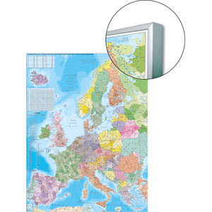
Stiefel
Kontinentkarte Europa Postleitzahlenkarte auf Platte zum Pinnen
$ 205,-
versandfertig in 1-2
Wochen
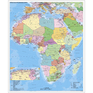
Stiefel
Kontinentkarte Afrika politisch mit PLZ auf Platte zum Pinnen
$ 205,-
versandfertig in 1-2
Wochen
